

The course provides a descriptive account of remote sensing of glacier mapping and monitoring: mapping glacier extents and snowline. Overview of global glacier monitoring initiatives such as GTN-G observing strategies, GLIMS and WGI is also given. The courses focus on glacier inventorying, and possibilities and challenges of remote sensing. The course provides the students with hands-on mapping of selected Himalayan glaciers on satellite images to explore the strengths and limitations of remote sensing of glaciers.

IHCAP summary monitoring cryosphere
Summary remote sensing of glaciers
glacier surface handouts
glacier surface slides
glacier mapping accuracy slides
Reference URL IHCAP
Exercise1_glacier_mapping
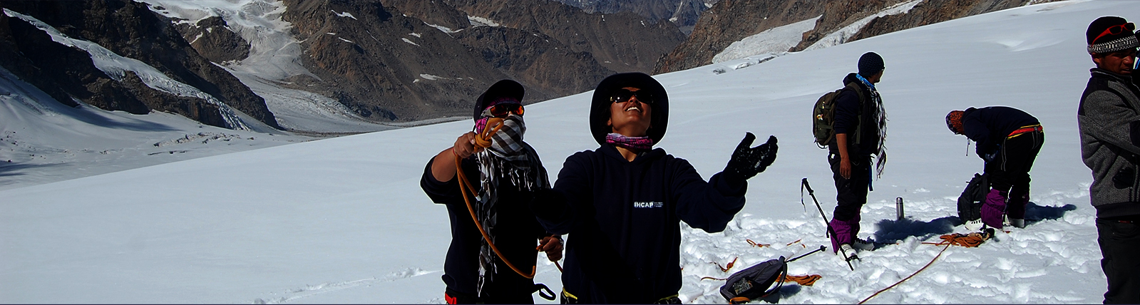
Exercises_glacier_mapping_pictures
glacier_mapping_guidelines